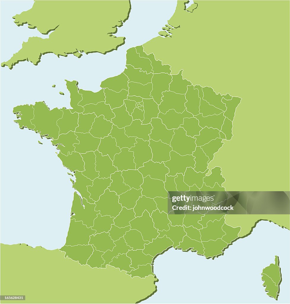
Mapa regional francesa dos - Ilustración de stock
"A detailed map of France showing all the main and subsidiary regions. Each main region is on its own named layer and each subdivision of that region is separately selectable. The main regions have a thicker white outline, the subdivisions have a darker green fill. At the base of a map is a lighter green fill so any region or subdivision can be deleted and a background color will still be present. It is simple to re color or delete any division."

COMPRAR LICENCIA
Todas las licencias libres de derechos incluyen derechos de uso mundiales, protección completa y precios sencillos con descuentos por volumen.
AR$ 329.200,00
ARS
DETALLES
Crédito:
Creative n.º:
165628431
Tipo de licencia:
Colección:
DigitalVision Vectors
Tamaño máx. archivo:
3983 x 4176 px (33,72 x 35,36 cm) - 300 dpi - 2 MB
Fecha de subida:
Inf. de autorización:
Esta imagen posee autorización firmada del modelo y de propiedad
Categorías:
- Provenza-Alpes-Costa Azul,
- Alsacia,
- Aquitania,
- Baja Normandía,
- Bretaña,
- Costa Azul,
- Córcega,
- Departamento de Ardenas - Francia,
- Europa - Continente,
- Franche-Comté,
- Francia,
- Ile-de-France,
- Ilustración,
- Languedoc-Rosellón,
- Lemosín - Francia,
- Lorena,
- Mapa,
- Mediodía-Pirineos,
- Normandía,
- Norte-Paso de Calais,
- París,
- Picardía,
- Región de Poitou Charentes,
- Ródano-Alpes,
- Sin personas,
- Valle del Loira,
- Vector,